Sierra de Cazorla
The gateway to Spain's largest nature park: waterfalls, gorges, castles and wildlife.
Key points
- The area gives its name to the Sierras de Cazorla, Segura y Las Villas Nature Park, Spain's largest protected area and a Biosphere Reserve since 1983.
- The Guadalquivir, Andalusia's great river, rises here.
- The Río Borosa trail is the park's best-known walk: waterfalls, walkways and tunnels.
- Cazorla and La Iruela are two castle villages just a stone's throw apart.
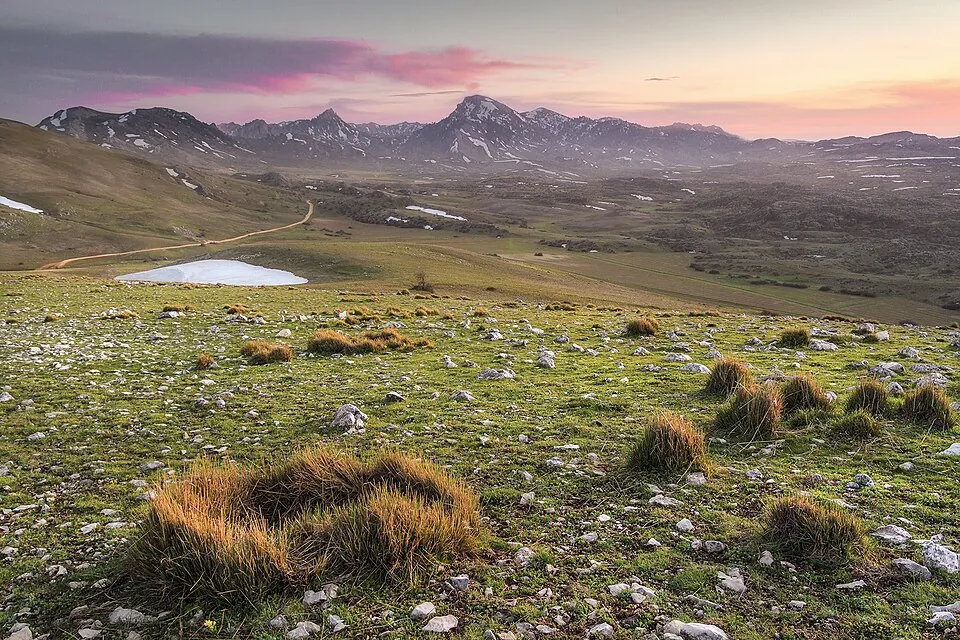
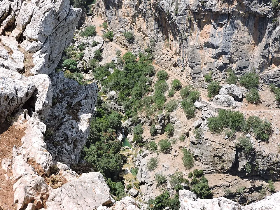
The Sierra de Cazorla is the gateway to Spain's largest nature park. Pine forests, limestone canyons, crystal-clear rivers and wildlife that is easy to spot: red deer, fallow deer, wild boar and Spanish ibex. It is the leading nature destination in eastern Andalusia and one of the best hiking areas in Spain.
Cazorla village
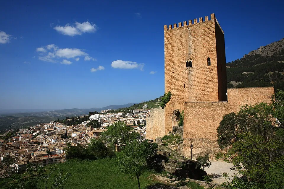
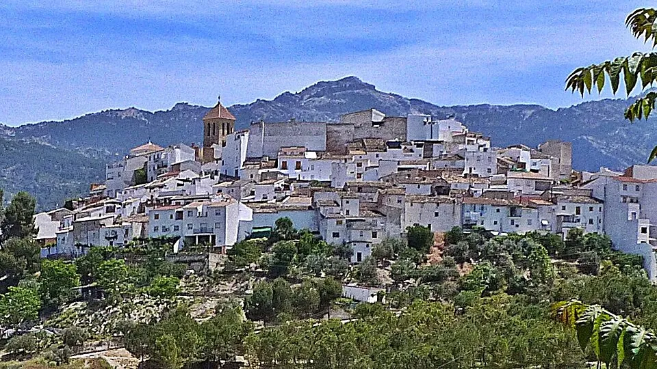
Cazorla climbs the hillside below La Yedra Castle, home to the Museum of Popular Arts and Customs of the Upper Guadalquivir. Its most curious corner is the ruined church of Santa María, a Renaissance church by Vandelvira built over the Cerezuelo river, which flows beneath it through a vault. The Corredera and Santa María squares are the places to stop for a drink.
La Iruela
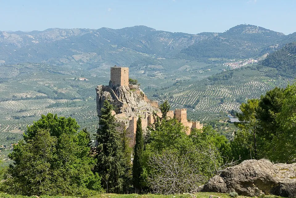
Two kilometres away, La Iruela Castle sits on a rocky crag overlooking the valley, one of the most spectacular sights in the province. From La Iruela, the road into the park heads towards Burunchel and the Guadalquivir valley.
Must-do walks
Río Borosa and Cerrada de Elías
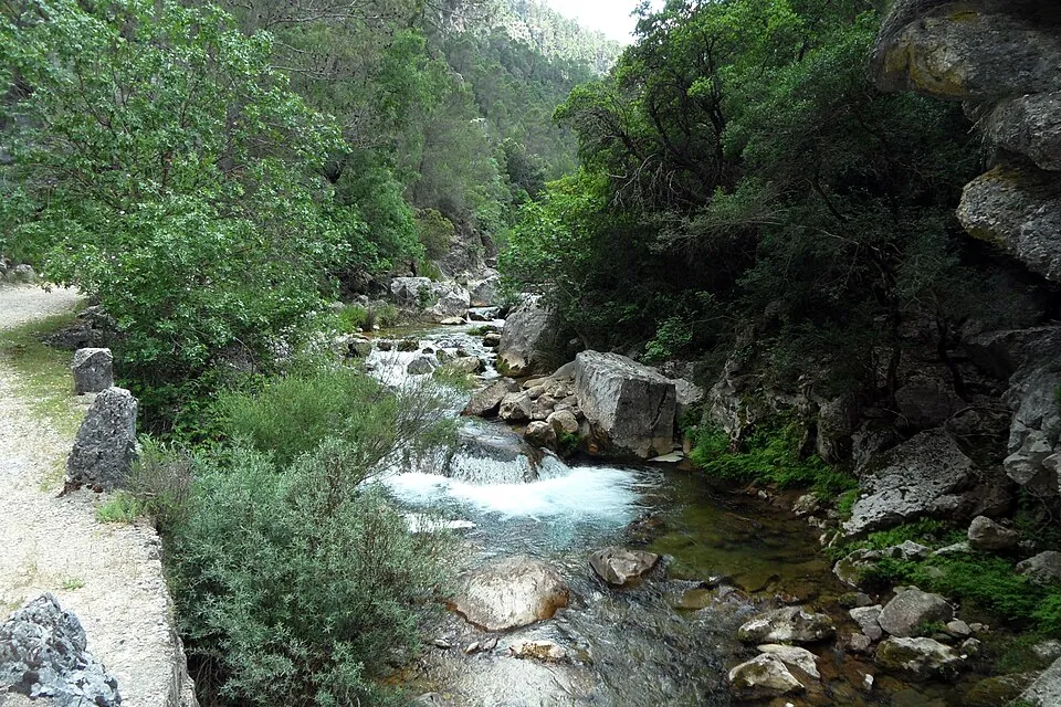
From the fish farm near Coto Ríos. About 11 km to the springs and lakes (one way), with walkways over the river; the first kilometres are easy and family-friendly.
Cerrada del Utrero
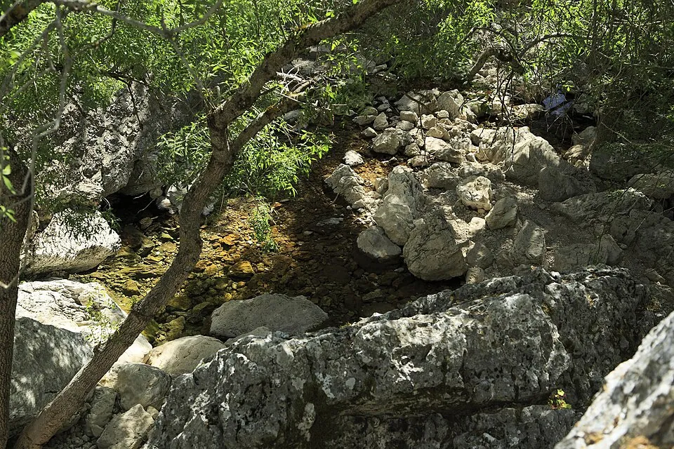
A short, easy walk beside a gorge and the Linarejos waterfall, near Vadillo Castril.
Source of the Guadalquivir
The river's spring, at Cañada de las Fuentes (Quesada), among black pines.
Tranco reservoir
Great views, inland beaches and the Torre del Vinagre visitor centre.
Before you set off
Park roads are narrow and winding: allow plenty of time. Check trail conditions on the Junta de Andalucía's Ventana del Visitante website and carry water: summers are hot and it may snow in winter.
More villages
- QuesadaBirthplace of painter Rafael Zabaleta, with a museum of his work; the Guadalquivir rises within its boundaries.
- Peal de BecerroNext to the Iberian necropolis of Toya, with its princely burial chambers.
- Pozo AlcónOn the shores of La Bolera reservoir and the Guadalentín river.
- Santo Tomé and ChilluévarOlive-growing villages at the gates of the park.
What to eat
Mountain cooking rules: andrajos, gachas, rin-rán, game, trout and Segureño lamb. The olive oil has its own designation of origin: PDO Sierra de Cazorla.
Frequently asked questions
What is the most famous walk in Cazorla?
The Río Borosa trail, which starts at the fish farm near Coto Ríos and follows the river past waterfalls and walkways to the Cerrada de Elías and the lakes.